|
Getting your Trinity Audio player ready...
|
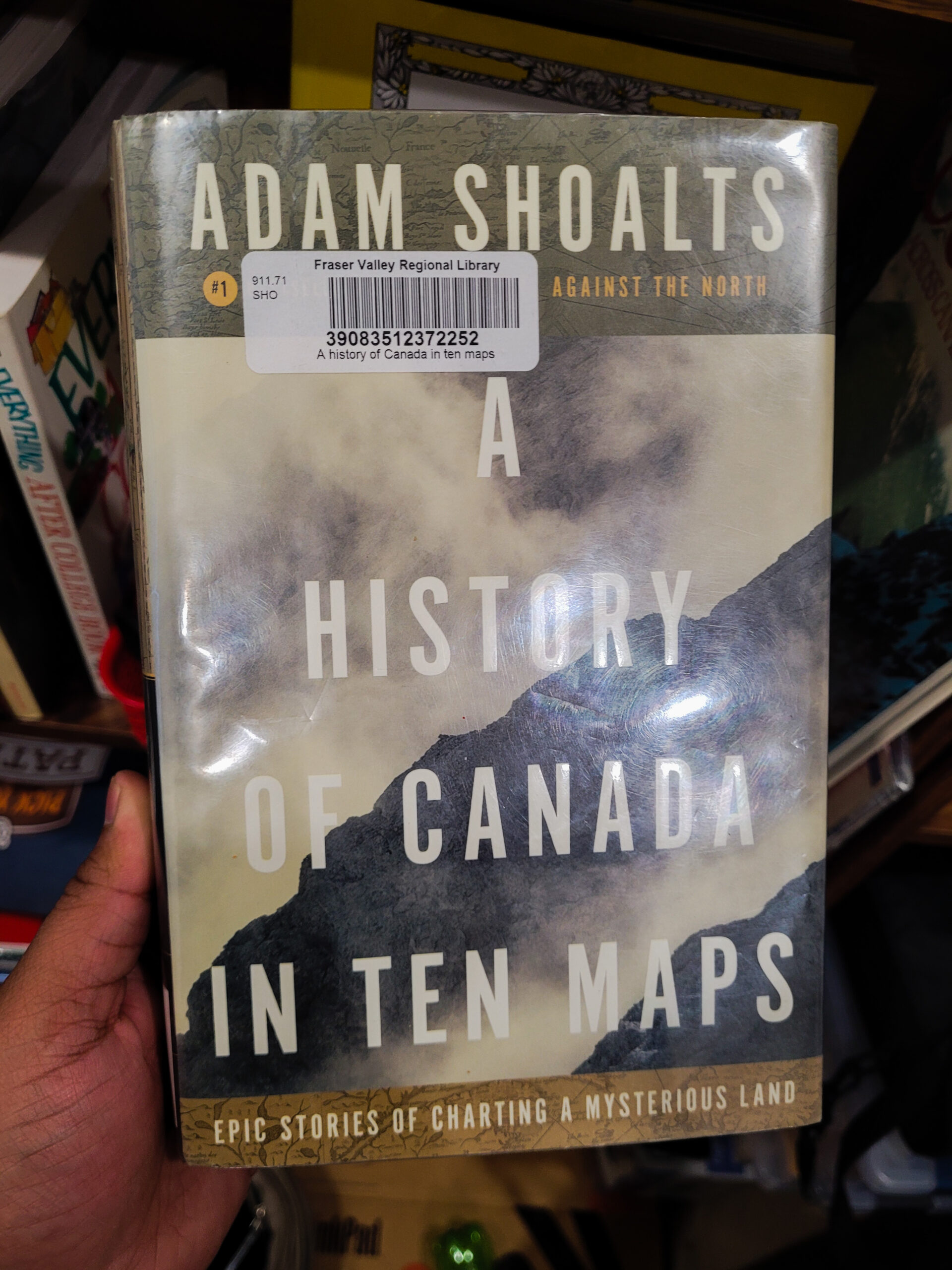
1. Name: A History of Canada in Ten Maps
2. Author: Adam Shoalts
3. Genre: Non Fiction/Geography
4. Book Post No. : 65
5. What is it about? : I once did a train journey across Canada from one end to another, which was around 4500 kms and took 5 days to cover. This shows how huge Canada is. In A History of Canada in Ten Maps, Adam shows how this huge country was mapped by courageous explorers and adventurers. As the name suggests, Adam takes 10 famous maps of Canada starting from the 1500s till 1820s and takes us behind to the stories and journeys of exploration which resulted in these maps.
6. How I came to read it? : It was while since I picked up a book on Canadian history so I checked my local library, Fraser Valley Regional Library, for books on Canadian History and came across this one. I picked it up instantly as on top of my love for history I love geography as well.
7. Did I like it? : Absolutely loved it! This book reads like an adventure novel. It is divided into 10 chapters each talking about one famous map. It starts off with the Skalholt Map, which was made by the Icelandic Scholar Sigurd Stefansson in 1590. Vikings were the earliest explorers to have reached the shores of eastern Canada and explored parts of it around the 11th century. They used to called the area Vinland.
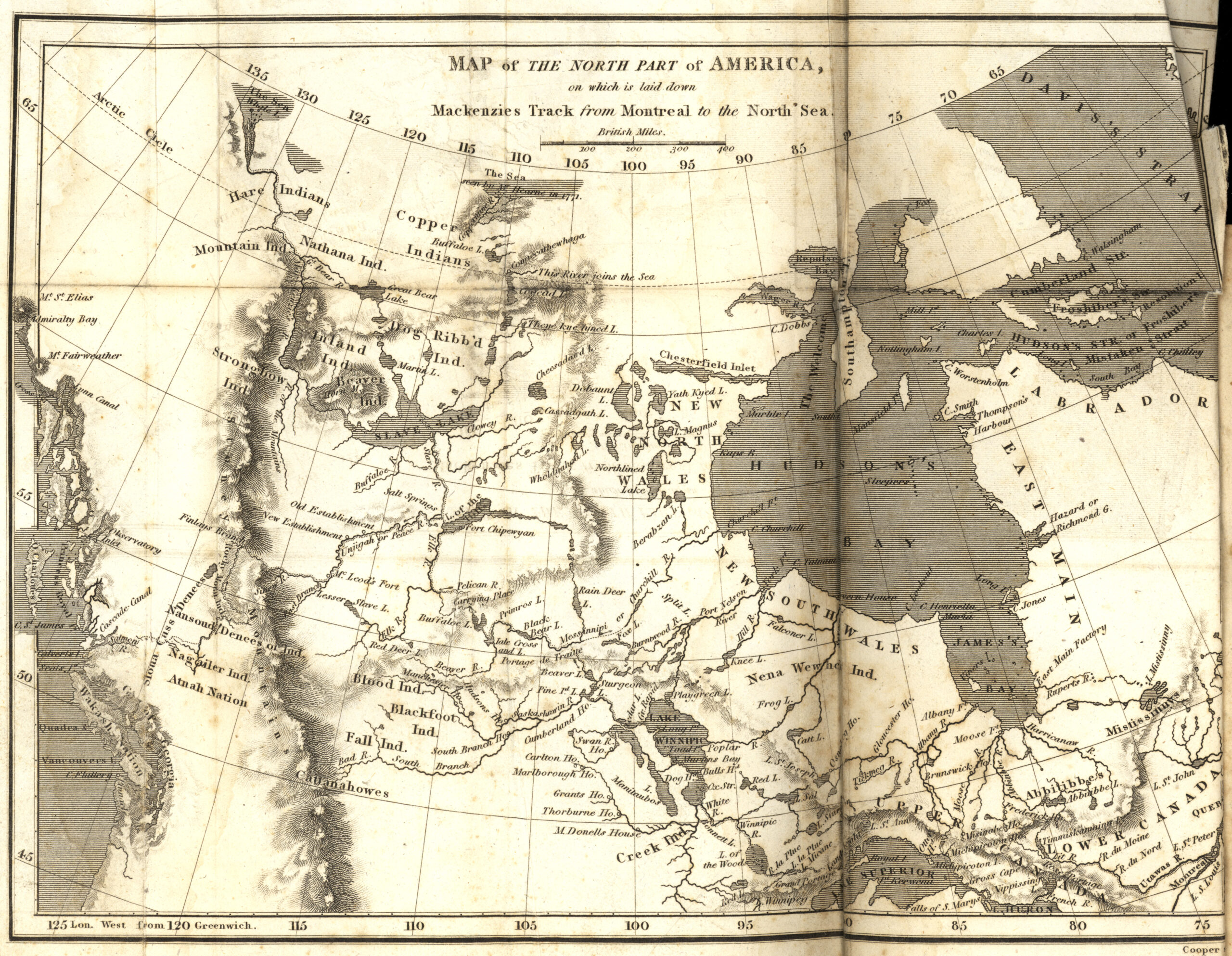
Next, Adam discusses the efforts of the French who were the next to arrive on this land. He mentions the map of Peter Desceliers and explores the journeys of Samuel Chaplain and Jacques-Nicolas Bellin. Then he talks about the English explorers including Samuel Hearne. My favorite chapter of all was the one about the Scottish explorer Alexander Mackenzie. He was one of the greatest explorers of North America. As the author says,
..if anyone deserves the title of North America’s greatest explorer, it’s Alexander Mackenzie. Merely glancing at the maps of his two epic journeys reinforces this fact. What had once been a vast blank space, entirely unknown to outsiders, is now filled with many crucial details – including the route of Canada’s longest river; the outlines of one of the continent’s largest lakes. Great Slave; and the location of both the Arctic and Pacific oceans. In total, Mackenzie’s two journeys from Fort Chipewyan spanned some ten thousand kilometers…
For the first time, the true extent of North America’s landmass was revealed… What is perhaps most remarkable of all – besides the physical hardships such journeys entailed – is that on all these immense wanderings, crossing widely different environments from the Arctic to the temperate rainforests, the Great Plains to the Rockies, the Great Lakes to the boreal forest, Mackenzie had met dozens of often very different aboriginal nations – and unlike so many previous explorers, had managed to avoid bloodshed with all of them.
There are some less than ideal characters as well including the American explorer Peter Pond who had the propensity to kill anyone who he disagreed with and John Franklin, of the famous lost expedition of HMS Erebus and HMS Terror, who was involved in a harrowing journey in Canada as well. There is one chapter about the Canadian born David Thompson, who has been called the “greatest practical land geographer that the world has produced”. His work is also credited for laying the foundation for modern cartography in North America. There is also one chapter which talks about the American invasion attempt of Canada which the Canadians successfully warded off in 1810s. The description of the key battle at Fort Erie on 15 August 1815 where the British launched a 3 pronged attach on an American-held fort is absolutely riveting.
Overall the exploratory journeys described in the book read like adventure novels and make up for an exciting reading not to mention all the facts and trivia one can read along the way. It reminded me of the book Jungle of Stone I read a couple of years about exploration in Mexico.
8. Things I loved:
- Superb accounts of the journey into the interior of Canada
- First Nations are mentioned with respect
- Lots of amazing trivia
9. Areas of Improvement:
- This a general complaint I have with any book related to books about maps. If you have a map that you are talking about most of the time please find a way to put it near the relevant area in the book. Don’t place it somewhere in the back where I have to constantly flip the pages to go to. Make it as easy as possible please.
10. Any other personal notes, observations, fun facts etc.
– The word ‘Canada’ comes from the Iroquoian word “Kanata” which means village. In 1535, when French explorer James Cartier was exploring the area around St. Lawrence river, he learned an Iroquoian word – “Kanata” – meaning village and misapplied it to denote the area around the St. Lawrence river. Henceforth, all maps and talk referred to this area as Canada and the name stuck.
John Franklin is mentioned in the book for his exploration of Canada. He later became famous for leading an ill-fated expedition to find the North west passage, which disappeared completely off the map. The remains of the Ships HMS Erebus and HMS Terror were only found recently in 2014 and 2016 respectively. The mystery of these ships was the inspiration behind the TV horror show The Terror, which is one of my favorite horror TV shows ever.
The following are the key maps and figures mentioned in the book:
- Skalholt Map by Sigurd Stefansson
- Pierre Desceliers’s
- Samuel de Champlain
- Jacques-Nicolas Bellin
- Peter Pond
- Samuel Hearne
- Alexander Mackenzie
- David Thompson
- John Franklin